Label the Diagram
← Currents, Climate & the AtmosphereTap a word, then tap its numbered spot on the picture. You can also choose words in the numbered list.
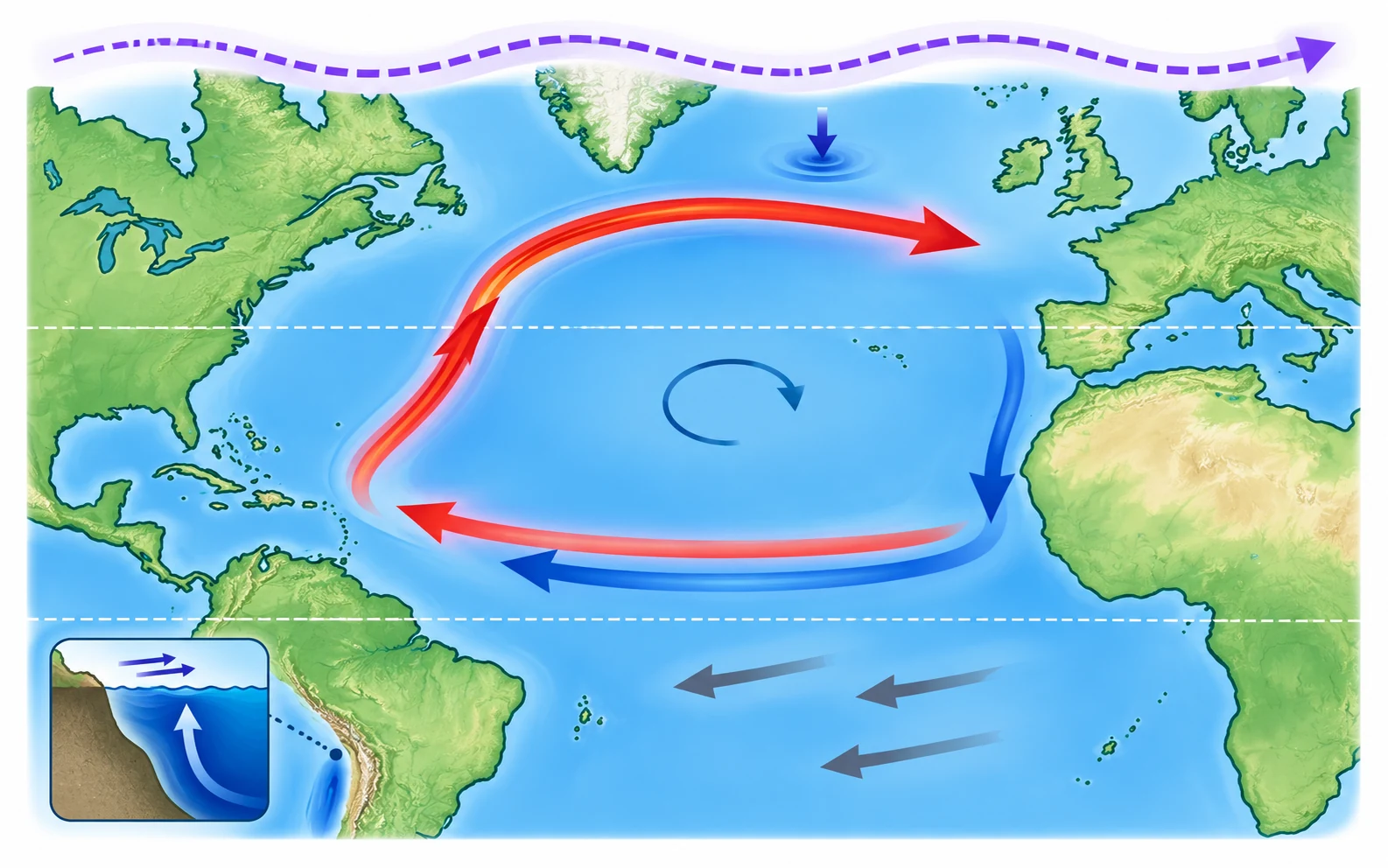
About this model: A simplified Atlantic map and a separate coastal side view. Arrows show typical movement, not speed. Actual currents vary with depth, place, and season.
 Original PotentELL science illustration
Word bank (7)
Numbered spots
- 1
- 2
- 3
- 4
- 5
- 6
- 7